The Met Office has issued yellow 'be aware' warnings for the next four days for large parts of the UK, with the prospect of hazardous ice a particular concern.
Motorists have been warned that icy roads will make for dangerous driving conditions.
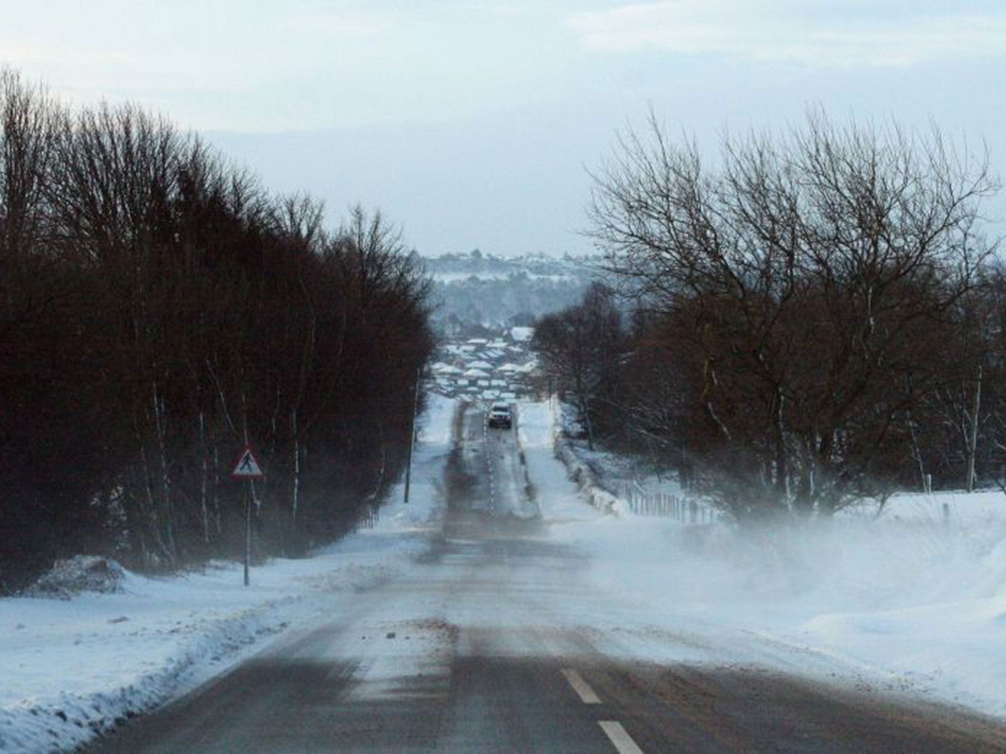
It is thought that sub-zero overnight temperatures will have frozen snow brought by the "thundersnow" storms that battered northern Britain earlier this week.
(Met Office)
Scotland will get the worst of the snowstorms still to come, with blizzard conditions - including 60mph winds - likely in the country's north west.
The Met Office's chief forecaster Eddie Carroll said: "Road surface temperatures will fall widely below freezing, leading to a risk of ice on untreated surfaces.
"This will be exacerbated by showers in places, more especially across Scotland, where 2-5cm of fresh snowfall may accumulate above 150m, with up to 10cm settling above 300m."
UK weather in pictures: Snow blankets Britain
Show all 30
MeteoGroup forecaster Chris Hogan said "heavy snow showers" will hit higher areas as the northern chill creeps further south across England.
London overnight saw some slight snow, though the weekend forecast is largely sleet and rain.
Met Office forecaster Carroll continued: "Further south, a mixture of rain, sleet and wet snow is likely, with most of any settling snow taking place above about 200m. However, wet roads at low levels will contribute to the risk of ice formation."
He said "a very cold airmass" would spread across Scotland and Northern Ireland this weekend, and along with it powerful gusts of wind and frequent showers.
"There is the potential for disruption throughout this period due to the accumulating snow and ice but also with temporary blizzard conditions leading to very difficult driving conditions."
Manchester Airport, which was forced to close both of its runways for several hours on Thursday, said a total of 36 flights inbound or outbound had been cancelled yesterday.
It said on its website: "We are fully open today, but as things get back to normal and aircraft get back to where they should be, passengers are advised to check with their airline for specific flight queries as some may be subject to delays."
Additional reporting by PA
Join our commenting forum
Join thought-provoking conversations, follow other Independent readers and see their replies

Join our commenting forum
Join thought-provoking conversations, follow other Independent readers and see their replies