UK weather: Heavy snow in England causes travel disruption as temperatures plunge to -6C
Motorists warned as sleet, ice and rain expected across the UK

Get the free Morning Headlines email for news from our reporters across the world
Sign up to our free Morning Headlines email
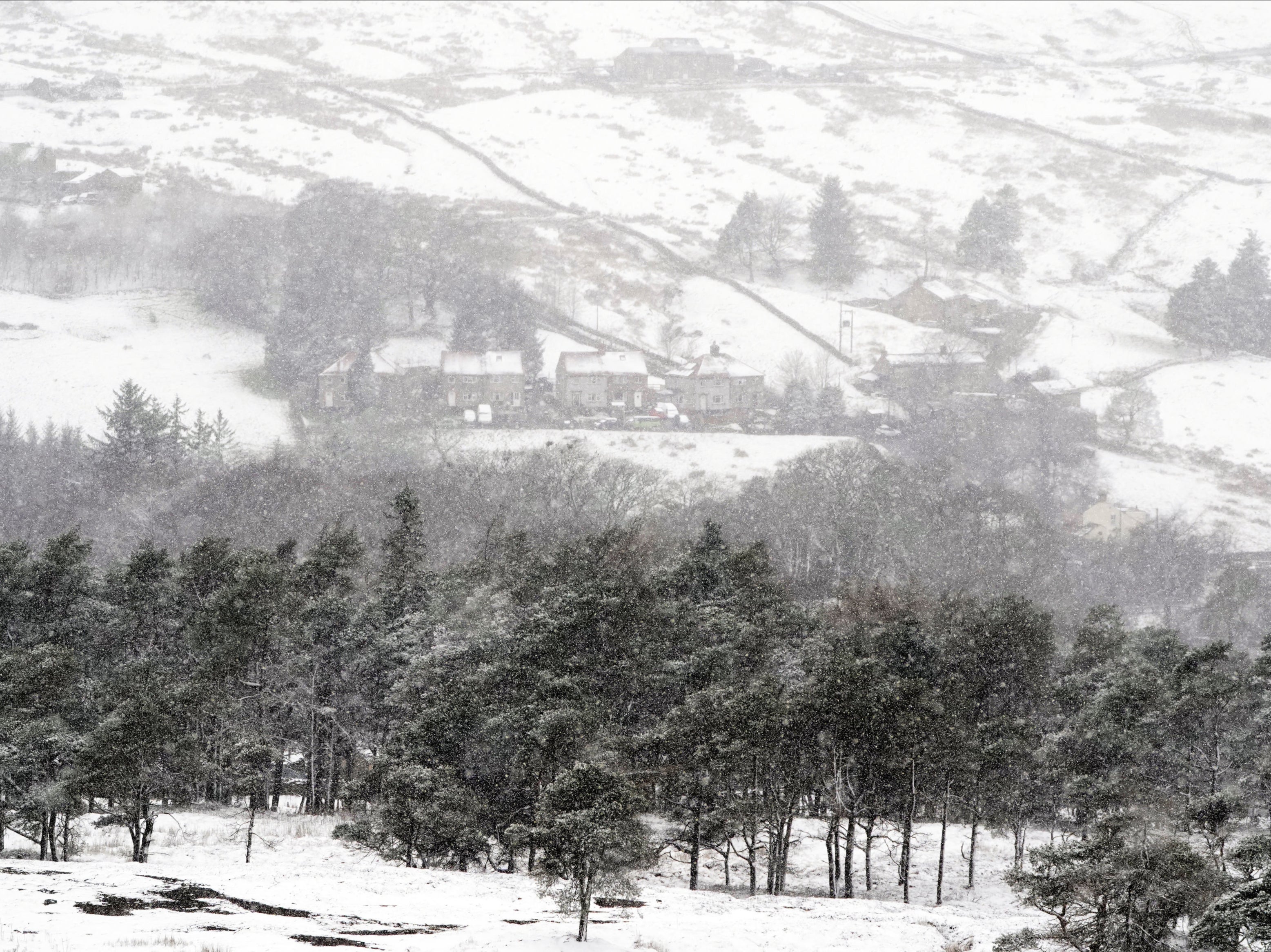
Parts of Scotland and northern England have been hit by heavy snow, as a new “wintry” weather front saw temperatures plummet as low as -6C overnight.
As a result of widespread snow and hail showers, the Met Office has issued a warning for ice in the east of the UK, running the length of the country, from Orkney to Dover.
The national forecaster is warning the public to expect icy patches on some untreated roads, pavements and cycle paths, leading to an increased chance of accidents or injuries – and the potential for travel disruption.
And a Met Office forecaster warned that more weather warnings could be issued for Friday morning, with Thursday night expected to bring a similar chance of snow.
Drivers in several areas have been urged to take care and leave extra time for their journeys.
Just after 7am, the BBC reported that “heavy snow” was already causing disruption on the M62 in Greater Manchester, where the traffic alert service Inrix reportedly showed delays lasting nearly an hour.
National Highways urged motorists in northeast England to take care if travelling on Thursday morning, writing on Twitter: “We have gritting resources out on all our routes in the North East.
“They have been treating and ploughing as needed since 10pm last night and continue to work to clear any lying snow. Please give them space to work and take care if out and about this morning.”
Derbyshire Roads Policing Unit reported that snow and ice had already led to three separate crashes on the A61 on Thursday morning, which had not resulted in any injuries.
Road safety charity IAM Lincolnshire said there was snow on the ground across the region, urging drivers to “allow extra time for travel, take it steady and increase your following distance”.
Breakdown service Green Flag also urged people to take care on the roads, with the firm’s commercial director Mark Newberry, saying on Wednesday: “Although many of us thought the colder weather was behind us, it’s unfortunately starting to feel like winter again.”
The Met Office is forecasting a mixture of rain, sleet and snow showers across the UK on Thursday, with temperatures “feeling much colder across all areas”.
It comes after a night of sub-zero temperatures across much of the country, with the mercury dropping to 0C in Northern Ireland and on the south coast of England, plummeting as far as -6C in the Scottish Highlands.
Councils in Newcastle City, North Tyneside and Gateshead all introduced their severe weather emergency protocols on Wednesday night – which included services to help people who are sleeping rough try to stay safe.
As of 7am on Thursday morning, the mercury remained low across the UK, with temperatures of 0C as far south as Swindon, at -1C in Powys, Wales, and at -3C in Derry. At the upper end, Glasgow and Tiree in the Hebrides were forecast to be experiencing temperatures of 3C, according to the Met Office.
Some social media users in London reported light flurries of snow in the capital on Thursday morning, although these did not appear to be widespread.
Met Office meteorologist Matty Box said that there was currently a “cold air mass” over the UK.
“There is an ice warning out at the moment. If there's any melt and it refreezes over night then there's an ice risk,” he said. “I suspect there will be a similar risk for Thursday night to Friday morning.”
Warning of a similar chance of snow over Thursday night and Friday morning, he added: “It will be concentrated and there will be snow showers.
“It will be eastern and northern areas of the UK that are more likely to see any showers of rain, sleet or snow.”
After a week of warm, sunny conditions which brought highs of 20C, the Met Office had warned that the final days of March would be marked by a noticeable change, with colder Arctic air pushing south across most of the country and bringing unsettled conditions for many in the UK.
The unsettled theme is expected to continue through Saturday and Sunday, although temperatures will gradually recover to near-average over the weekend and into the start of next week, according to the Met Office.
“Showers will become less frequent, but still with the chance of some wintry showers effects in the east coast and the North Sea coast in particular through Saturday”, Mr Box said.
“There should be a fair amount of sunshine as well with sunny spells in between.”
Additional reporting by PA
Subscribe to Independent Premium to bookmark this article
Want to bookmark your favourite articles and stories to read or reference later? Start your Independent Premium subscription today.
Join our commenting forum
Join thought-provoking conversations, follow other Independent readers and see their replies